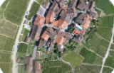
eBee RTK

The senseFly eBee Classic is a fully autonomous
and easy-to-use mapping drone.
Use it to capture high-resolution aerial photos you can transform into accurate orthomosaics (maps) & 3D models.

senseFly S.O.D.A.
Learn more
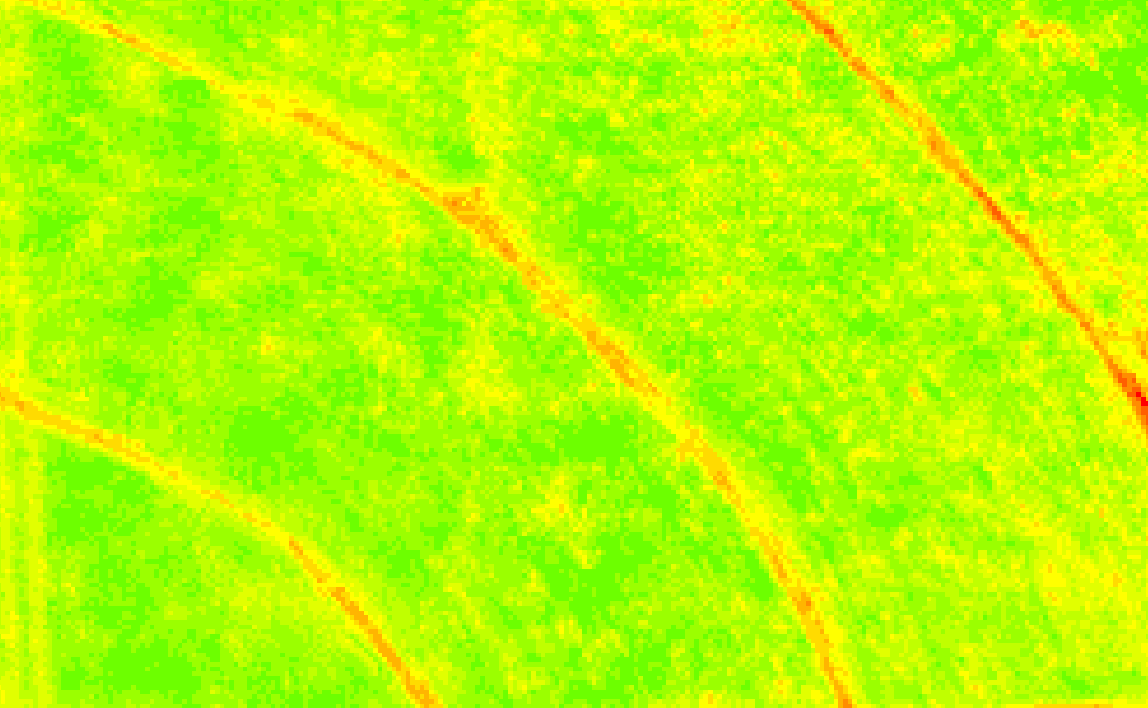
Parrot Sequoia+
Learn moreSpecifications
Dimensions:
--
Wingspan:
96 cm (37.8 in)
Weight (incl. supplied camera & battery)
Approx. 0.69 kg (1.52 lb)
Exposure compensation:
±3.0 (1/10 increments)
Radio link range
3 km nominal (up to 8 km) / 1.86 mi (up to 4.97 mi)
Cameras (supplied)
senseFly S.O.D.A.
Cameras(optional)
Parrot Sequoia, thermoMAP
Flight planning & control software (supplied):
eMotion 3
eMotion 3Image processing software (optional):
Pix4Dmapper, Pix4Dbim
Automatic 3D flight planning:
Incl. in eMotion 3
Cruise speed:
40-90 km/h (11-25 m/s or 25-56 mph)
Wind resistance:
Up to 45 km/h (12 m/s or 28 mph)
Max. flight time:
50 minutes
Max. flight range:
33 km (20 mi)
Hand launch:
Yes
Landing:
Automatic, linear with ~5 m (16.4 ft) accuracy
Ground control points:
Optional
Absolute horizontal/vertical accuracy (w/GCPs):
Down to 3 cm (1.2 in) / 5 cm (2 in)
Absolute horizontal/vertical accuracy (no GCPs):
1 - 5 m (3 - 16 ft)
Nominal coverage at 120 m (400 ft):
140 ha (~350 ac)
Max. coverage at 1,200 m (3,900 ft):
--
- GSD multispectral:
--
- GSD RGB:
--
Max. coverage at 2,000 m (6,500 ft):
9.3 km2 (3.6 mi2)
- GSD multispectral:
--
- GSD RGB:
--
Ground sampling distance:
Down to 1.5 cm (0.6 in) /pixel
Absolute X, Y, Z accuracy (RTK/PPK activated):
--
Output compatibility
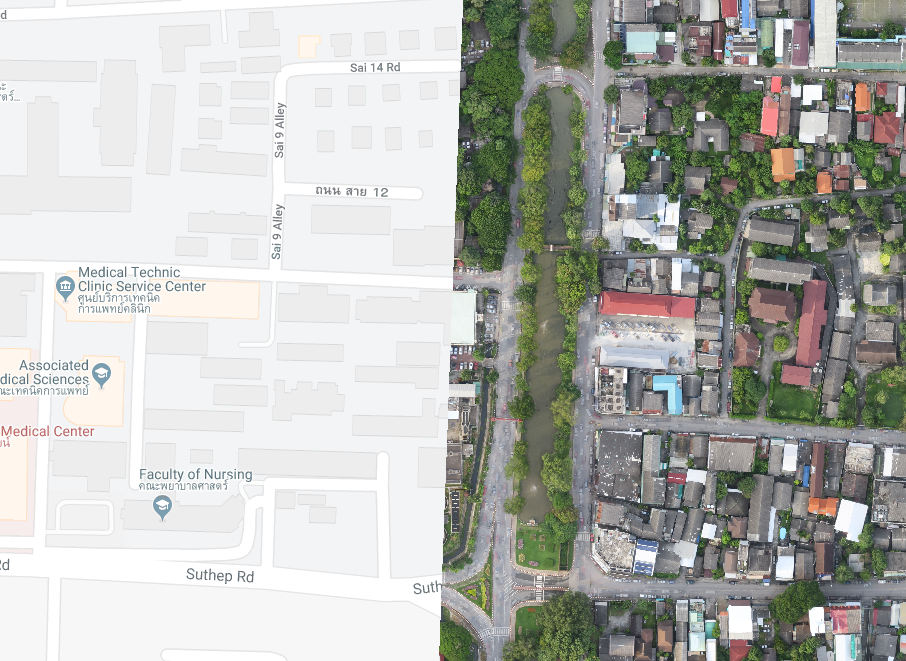
google map
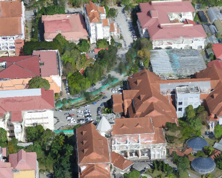
3D mesh with texture

Orthomosaic raster
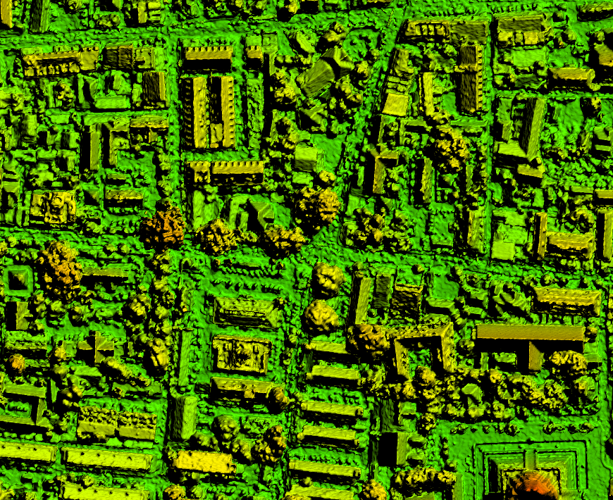
Digital surface model (DSM)

Contour lines
Index map
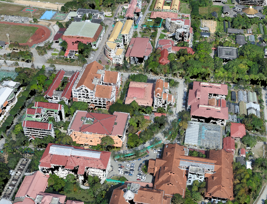
3D point cloud