A Drone Imagery
Specialists Company
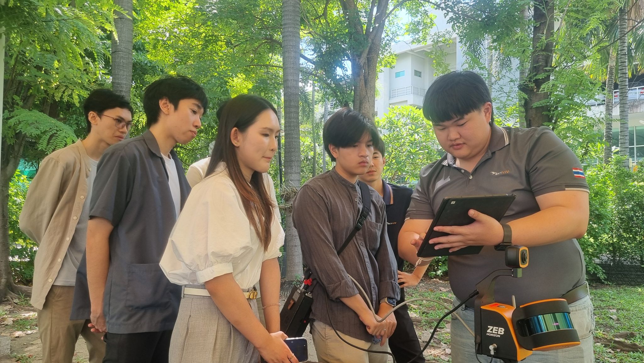
Specialists Company
We are a supplier of products and services for High Accuracy Mapping, Infrastructure Inspection and Precision Agriculture.
We are a supplier of products and services for High Accuracy Mapping, Infrastructure Inspection and Precision Agriculture.