Our Services
AERIAL IMAGE ACQUISITION
Depending on the nature of the area or physical structure to be investigated, whether it be in the city with limited open spaces or in the countryside with wide open fields, we can select the right type of drones from our collection (fixed wings or multi-rotors) to best suit the tasks at hand.
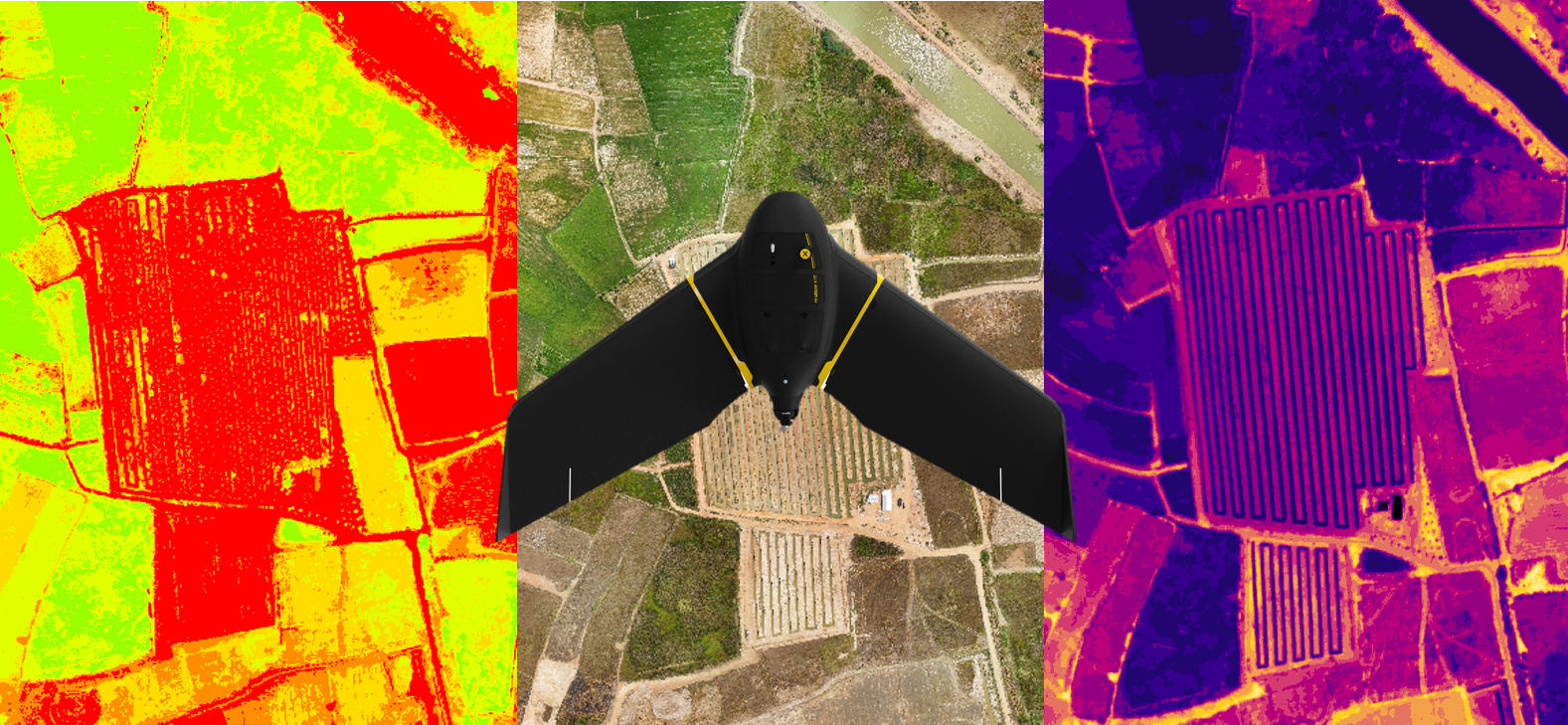
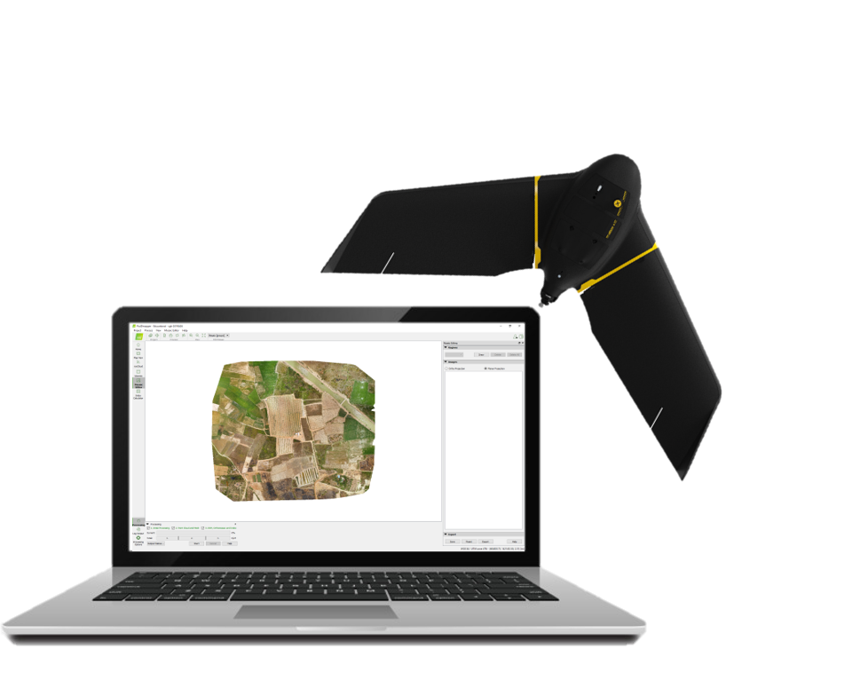
IMAGE DATA PROCESSING
We use state-of-the-art software to process these high quality images to obtain the following end products, namely, Orthomosaics (2D), Digital Elevation Model (DEM) which includes both the Digital Surface Model (DSM) and the Digital Terrain Model (DTM), Contour Maps, 3D Point Cloud and Textured Mesh, high accuracy volumetric determination as well as generating Normalized Difference Vegetation Index (NDVI) Maps.

