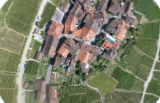
eBee X
Camera


Specifications
Ground Sampling Distance (GSD):
Down to 2.5 cm (1.0 in)/pixel with
senseFly Aeria X at 122 m (400 ft)
senseFly Aeria X at 122 m (400 ft)
Absolute horizontal/vertical accuracy (w/GCPs):
Down to 3 cm (1.2 in)
Absolute horizontal/vertical accuracy (no GCPs):
1 - 5 m (3 - 16 ft)
Nominal coverage at 120 m (400 ft):
220 ha (~550 ac) without Endurance Extension / 330 ha (~820 ac) with Endurance Extension
Max. coverage at 2,000 m (6,500 ft):
40 km2 (16 mi2)
- GSD RGB:
46 cm (18 in)
Ground sampling distance:
Down to 1 cm (0.4 in)/pixel
Absolute X, Y, Z accuracy (RTK/PPK activated):
1.5 cm (0.6 in) + 2 ppm
Dimensions:
--
Wingspan:
116 cm (45.7 in)
Weight (incl. supplied camera & battery):
1.1 kg - 1.4 kg (2.2 - 3.1 lb)
depending on camera and battery
depending on camera and battery
Electric motor:
Low-noise, brushless
Radio link range:
3 km nominal (up to 8 km) / 1.9 mi (up to 5 mi)
Detachable wings:
Yes
Cameras (supplied):
--
Cameras (optional):
senseFly S.O.D.A. 3D, senseFly Aeria X, senseFly Duet T,
Parrot Sequoia+, senseFly S.O.D.A., senseFly Corridor
Parrot Sequoia+, senseFly S.O.D.A., senseFly Corridor
GNSS grade:
Survey
Carry case dimensions:
75x48x33 cm (30x19x13 in)
Flight planning & control software (supplied):
eMotion
Photogrammetry software (optional):
Pix4Dmapper/Pix4Dbim/Pix4Dfields
(optional with eBee X), Agisoft PhotoScan, Esri Drone2Map, DroneDeploy, Trimble Business Center, Bentley ContextCapture
(optional with eBee X), Agisoft PhotoScan, Esri Drone2Map, DroneDeploy, Trimble Business Center, Bentley ContextCapture
Vegetation index calculation
(w/optional photogrammetry software):
(w/optional photogrammetry software):
Yes
Image processing software (optional):
AutoCAD, ArcGIS, Trimble Business Center, Leica Geo Office,
VAGNET Office Tools, ArcGIS,
MicroStation & more
VAGNET Office Tools, ArcGIS,
MicroStation & more
Video feedback:
No
Full 3D display environment:
Yes
Automatic 3D flight planning:
incl. in eMotion 3
Cruise speed:
40-110 km/h (11-30 m/s or 25-68 mph)
Wind resistance:
Up to 46 km/h (12.8 m/s or 28.6 mph)
Hand launch:
Yes
Maximum flight time:
90 minutes
Nominal coverage at 120 m (400 ft):
220 ha (~550 ac), with senseFly S.O.D.A. /
no Endurance Extension
Maximum coverage (single flight):
500 ha (~1,250 ac), with senseFly S.O.D.A. 3D / Endurance Extension
Automatic landing:
Yes
Real-Time Kinematic/ Virtual Base Station:
Yes
Ground control points (GCPs) required:
No
Oblique imagery:
Yes with senseFly S.O.D.A. 3D
Max. flight time:
90 minutes
Max. flight range:
Standard: 47 km (~30 mi)
Endurance: 95 km (~60 mi)
Hand launch:
Yes
Landing:
Linear landing with Steep Landing technology (5 m/16.4 ft)
accuracy in 35° angle cone)
Ground control points:
Optional
Output compatibility
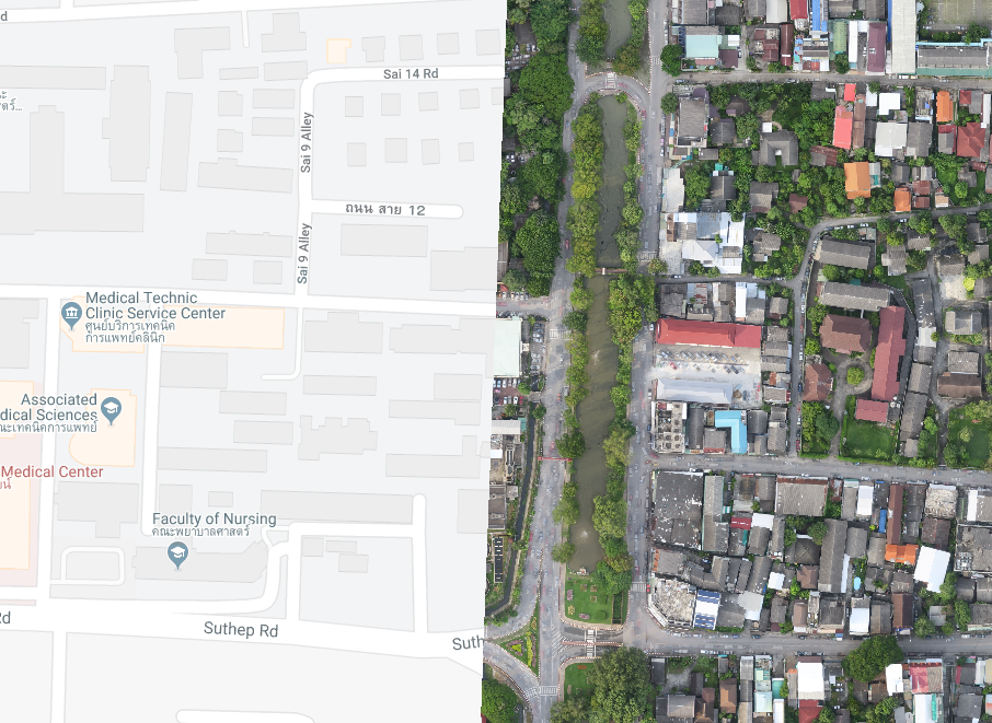
google map
3D mesh with texture

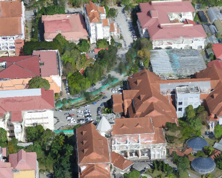
Orthomosaic raster
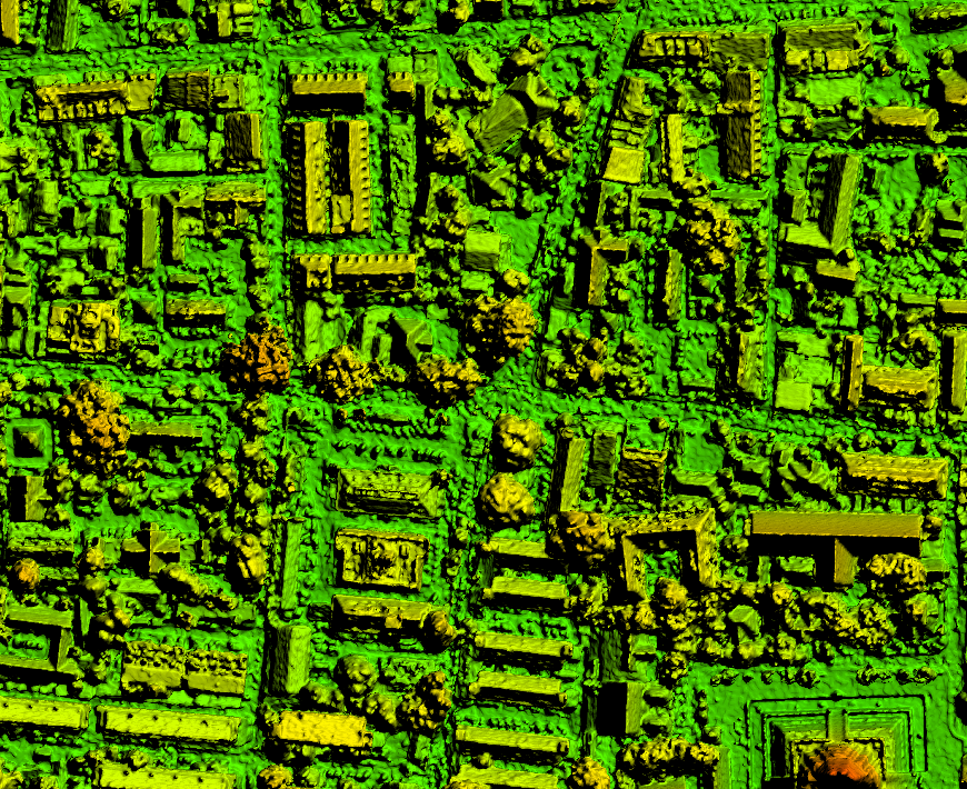
Digital surface model (DSM)

Contour lines
Index map
3D point cloud